
Hello! Clark and Nikole here. Along with camping one of our favorite outdoor activities is…hiking!! Specifically, hiking in Uwharrie National Forest which is located in central North Carolina.
My husband and I are fortunate to live close to one of the oldest mountain ranges in the US. Hiking trails can be found only 10 minutes away from our house.
We did our best to find some of the most interesting and easy trails out there so you can hike them without wasting time on “flop” trails as we did.
This post may contain affiliate links, which means I’ll receive a commission if you purchase through my links, at no extra cost to you. Please read full disclosure for more information.
First, here are all of the items in a chart that we have decided to talk about in this post.
Uwharrie National Forest Trail Info
Uwharrie National Forest offers a long hiking trail system within its 51,000 acres of land. The entire trail system, known as the Uwharrie trail, is 4o miles to be exact. Don’t worry you won’t need to hike all of that to get the full experience.
There are several trailheads with parking spots along the 40-mile stretch. These parking areas allow you easier access to the best views on the Uwharrie trails.
Also, I believe that not all the trails connect with each other at this time. The long trail system is currently being connected.
Wood Run Hiking Trail
Let’s start with the first trail in the Uwharrie National Forest. Wood Run Trail Head is located only 3 minutes from Lake Tillery. I actually do not have any pictures as of yet and is one of the very few trails I haven’t been on.

109 Trail Head Hiking Trail/Uwharrie Recreational Trail


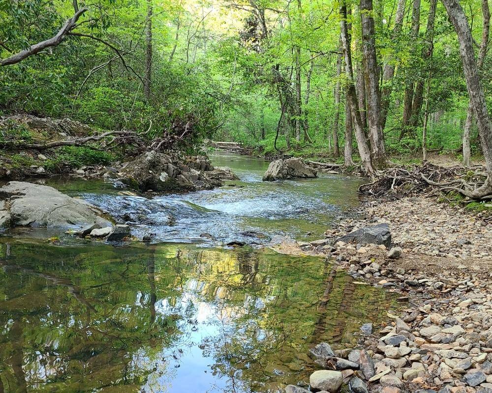
We hiked out about a mile on this trail to the stream and camped overnight. It was mostly unoccupied by other hikers, thus making it a peaceful experience.
The hike to the creek was fairly simple and all downhill. However, that means you need to hike uphill to get back to the parking lot. You can camp off of just about any trail in Uwharrie.
If you go any further than the creek, you will run into an incline and hike through a pine forest for 20 miles.
You can find other Uwharrie trails that connect to this one, including the Dutchman’s creek trailhead. This trail is only 11.5 miles long and is a loop.

Jump off Rock Trail in Uwharrie National Forest
Jump off Rock Uwharrie Trailhead is located in Troy North Carolina.
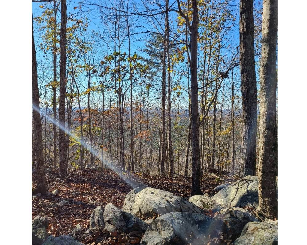
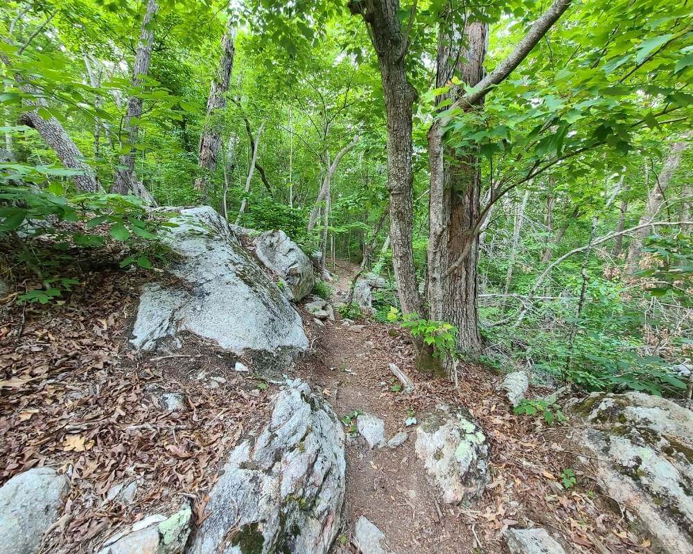
There are numerous rocks and boulders you will have to walk over, and it’s all uphill to the very top. I would say it’s a little over a mile to get to the view at the top, but the entire trail is 8.4 miles long.
This trail was fairly strenuous considering how many times we slipped on the boulders. Sometimes it felt like we were bouldering our way up this particular Uwharrie trail.
The view at the top is best in the winter when there are no leaves on the trees. You can see a 360 view of the mountains.
Boulders at the top serve as a fantastic place to chill, sit, and enjoy the view. Or you can tie up a hammock to the trees and swing the day away.

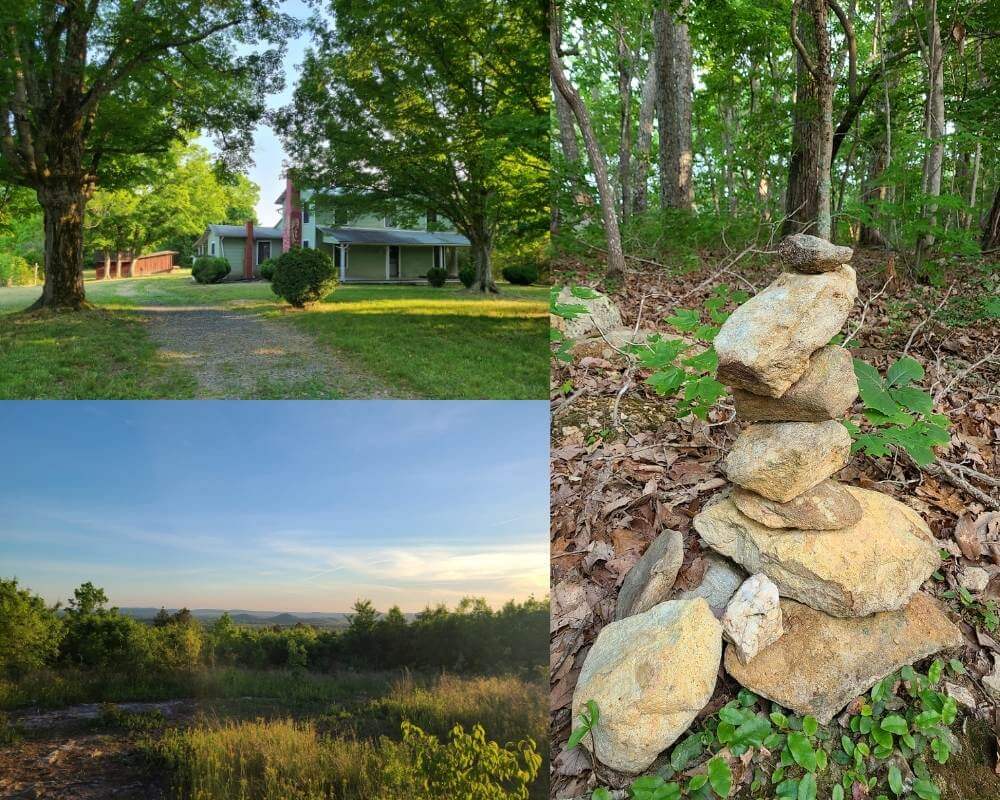
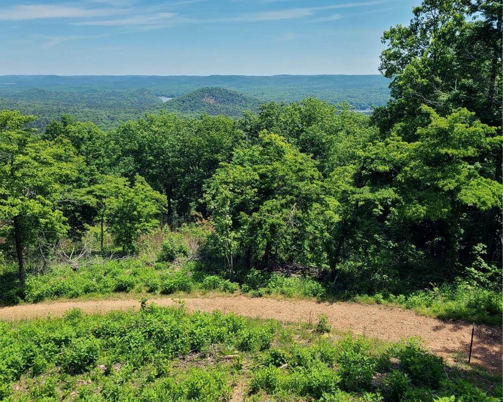
Joe Moffit Trail (This is my favorite trail in Uwharrie National Forest)
Our all-time favorite Uwharrie trail is Joe Moffit! This trail has the best views in Uwharrie National Forest.
It also has the only covered building on the entire Uwharrie trail system, which would make for a great place to set up a tent or even hammocks.
Sunsets and sunrises are a must-see at the top of the mountain.
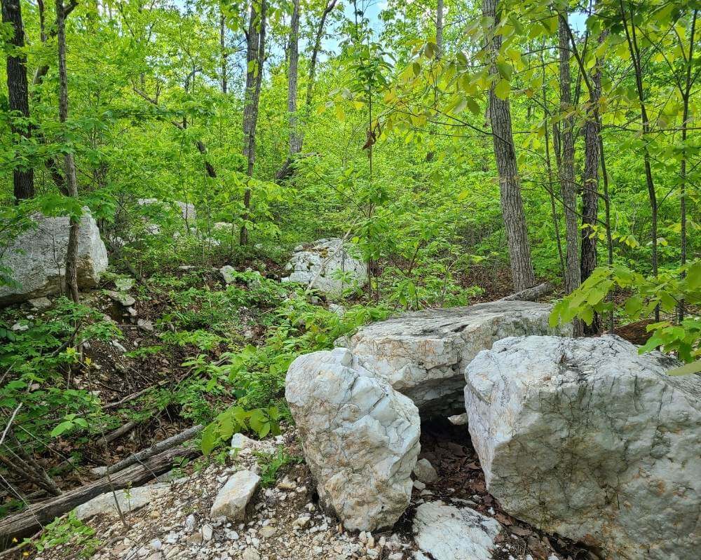
Within the first ten minutes of the trail, you will run into some Quartz boulders. When walking over the smaller pebbles it kind of sounds like you are walking on glass.

Walkers Creek Trail
We weren’t impressed with this Uwharrie hiking trail, mainly because of the vast amount of nothingness and trees.
Oh, we have to mention the flies, there were so many! At every moment they seemed to be attacking Clark as if he were their prey.
There were promises, on google maps, of a view. Most likely we didn’t travel far enough. We probably hike a little less than a mile out.

Robbins Branch Trail
This Uwharrie hiking trail was probably our third favorite trail.
To get to the trail you must cross a sketchy wooden bridge with your vehicle (which was pretty awesome). The trail itself is along a beautiful creek with several areas to camp.

Birkhead Mountains Trail

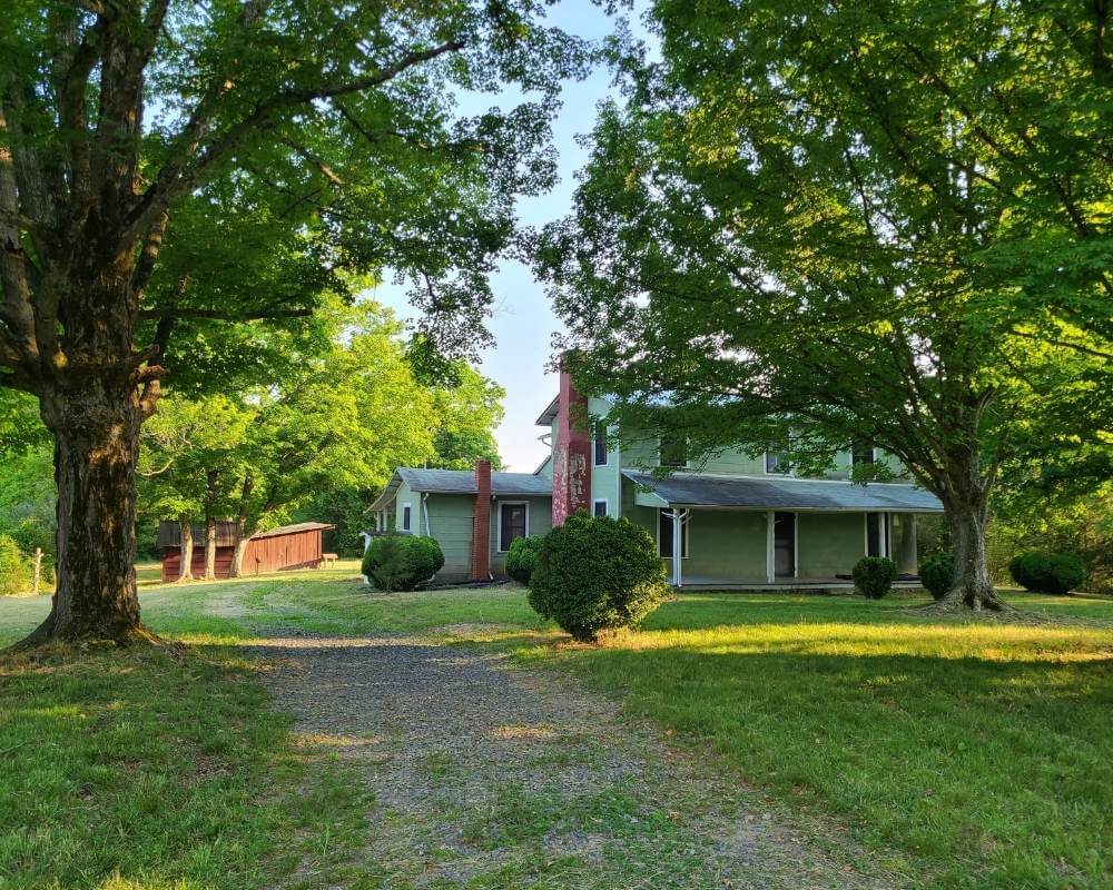
The old homestead not too far from the parking area made this Uwharrie trail interesting. The rest of the trail is “okay”, but leads into a lot of nothingness and trees.
There are a few areas where you can pop out of the woods and see a field, or climb down a slight incline to get to the creek.

Tot Hill Farm Trail
This trail is the ending point of the Uwharrie trail system, or the beginning if that’s the way you choose to go.
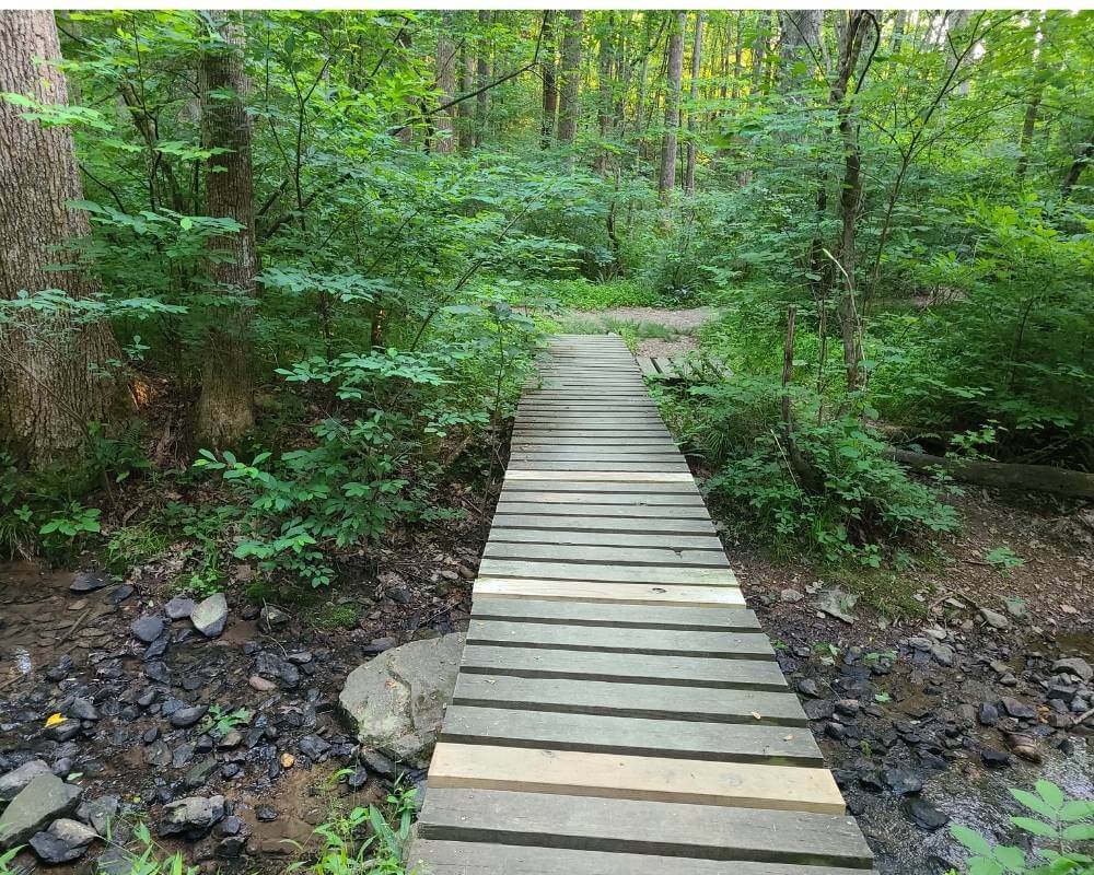
We only hiked the trail for about 10 minutes and found a bridge and a creek crossing. From the looks of it, this trail has been ignored and looked like it could use some maintenance.

Random Trails in the Uwharrie National Forest in North Carolina
There are a few random trails you will find in the Uwharrie National Forrest, that aren’t easy to find.
Gold Mine Branch Trail

We had a hard time finding this trail in the Uwharrie National Forest. I don’t think it is plugged in right into google maps, because we never saw an official marker for the trail.
We ended up walking off on some horse trails, which was cool. The Uwharrie river was visible in some parts, and the trail took us through some fields that skirted the mountains.
Beware, you will run Into snakes. There are very few people hiking this Uwharrie trail, so the wildlife is insane. Make sure you look at the outskirts of the woods as you hike.
There was also a walking trail down the road from where the GPS first took us. The trail took us along the Uwharrie River. It offered several cooking spots, but camping was not allowed along the river.
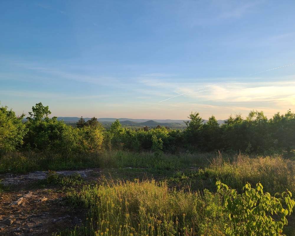
Morrow Mountain State Park Trail
The Morrow Mountain trail is our second favorite area to hike. However, there isn’t just one hiking trail.
There are many you can take within the park, but only one leads to the top and that one is the Morrow Mountain loop trail (sorry, the trail isn’t on the maps I posted below, but Morrow Mountain State Park is).
Morrow Mountain has much more to offer than just hiking. Read more about it here.

Map of all the Uwharrie Trails
Here are the Uwharrie National Forest trails I listed above, along with just a few others including Badin Lake Loop Trail, and Denson’s Creek Trail.
I have personally pinned all the points on the map so you can find the trail heads easily. You can also view an official map of the Uwharrie Forest trails.
Closing Thoughts
As you can see the Uwharrie National Forrest has many hiking trails to offer. There are so many more that aren’t listed on google maps.
They are dotted everywhere within the mountains, and you can find them just by driving through the gravel roads in Uwharrie.
Have fun exploring new areas to hike!
You can join our community here on Facebook at https://www.facebook.com/adventureseverywhere, and find new and amazing adventures and travels! We can’t wait to share more with you!
